Technology has made it very easy to plan cycling routes, with numerous plotting programs and software to choose from. There’s a huge range of specialist bike-mounted GPS systems and we are now seeing more people than ever using bike-mounted mobile phones as a means of navigating too.
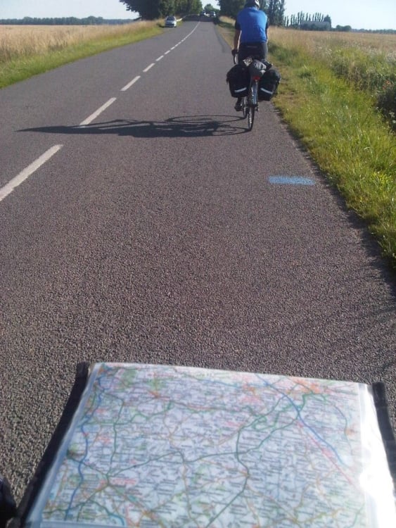
When we first started plotting cycling routes, we ordered a map from Amazon, grabbed a few highlighters, and got to work. The process wasn’t dissimilar from those used by army generals in the Second World War. What would follow would be an extremely hectic and stressful recce, usually in a motorised vehicle, and sometimes on touring bikes. We’d be armed with our highlighted maps and a vague idea of where the route would start and finish.
Then came along the Garmin Edge! Suddenly we were able to plot a route online using Garmin Connect, transfer it over to the Garmin and follow the line. This worked for a while and, although it certainly helped, often had glitches. We’d be following the route then suddenly it would take us down a one way street. Garmin has since made it even harder, by limiting the number of devices that can be used for each user account.
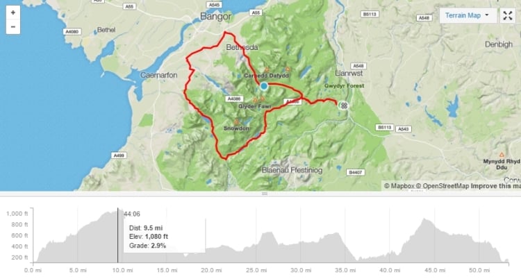
After many frustrating rides later, we have moved away from Garmin. We now plot our routes using Strava with extra research from Google maps. This is for a number of reasons:
- Strava uses data from other cyclists, so it often chooses the best route automatically
- Routes can be exported as GPX files then dropped into as many Garmins as needed
- Existing Strava segments can easily be incorporated into our routes
- We can share updates and results in our More Adventure Strava group
- Real time elevation details to follow the line and see the exact mileage of each hill is very useful
We hope you’ve found this article useful. In the next article, we’ll explore exactly what we’re looking for in a route.
 © 2026